


Vicmap Viewer
Desarrollador Department of Environment, Land, Water and Planning
VICMAP VIEWER
Easily discover, purchase and download more than 10,000 topographic maps over Victoria on your mobile device. Vicmap Viewer brings together authoritative government data in an easy-to-access mobile mapping app.
• Vicmap Viewer can be used by emergency services, and for a range of recreational activities including bushwalking, cycling, and four-wheel driving.
• The app makes it convenient to download topographic maps on your mobile device, then view offline, providing users access to topographic maps anywhere, anytime.
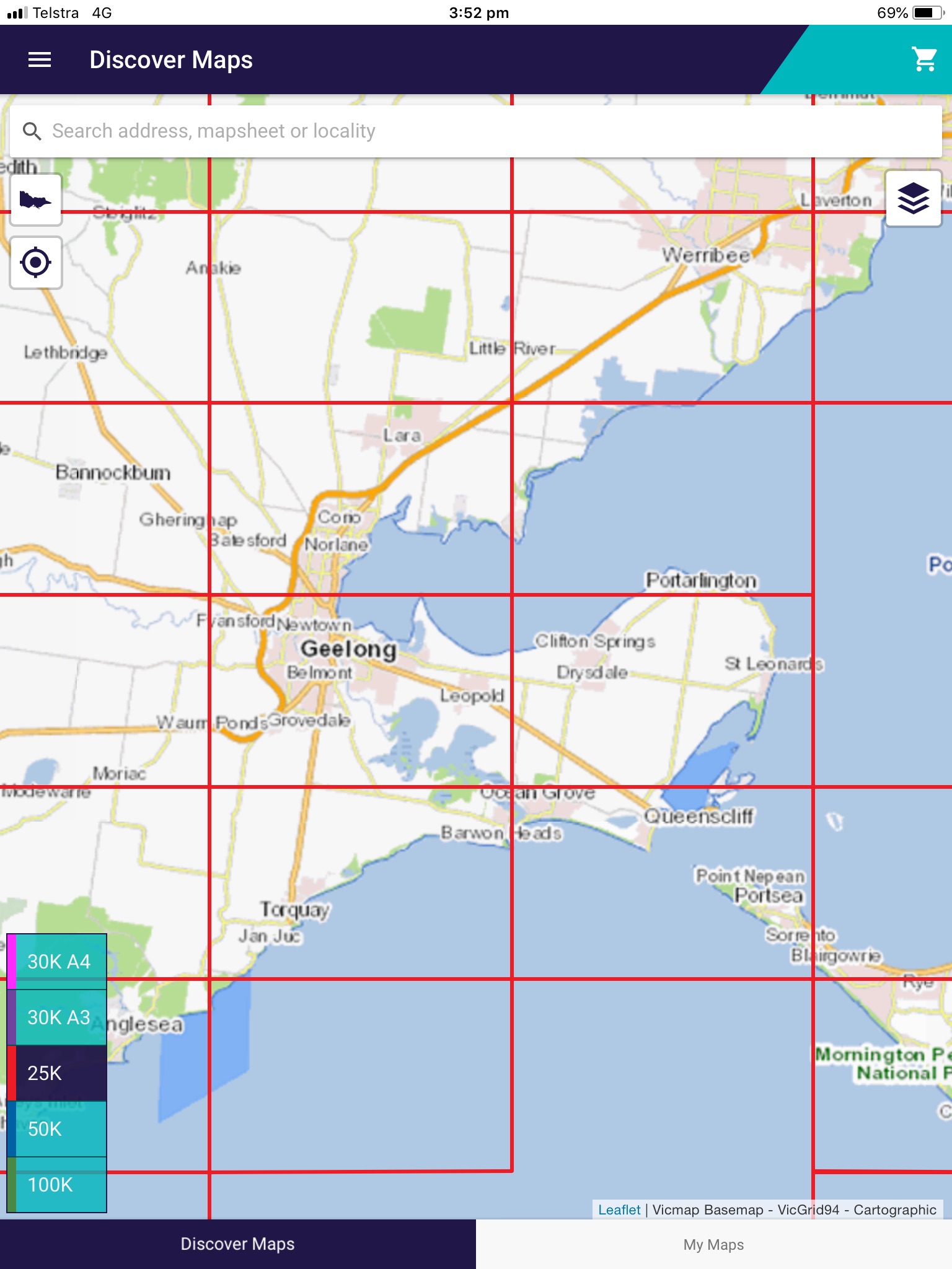
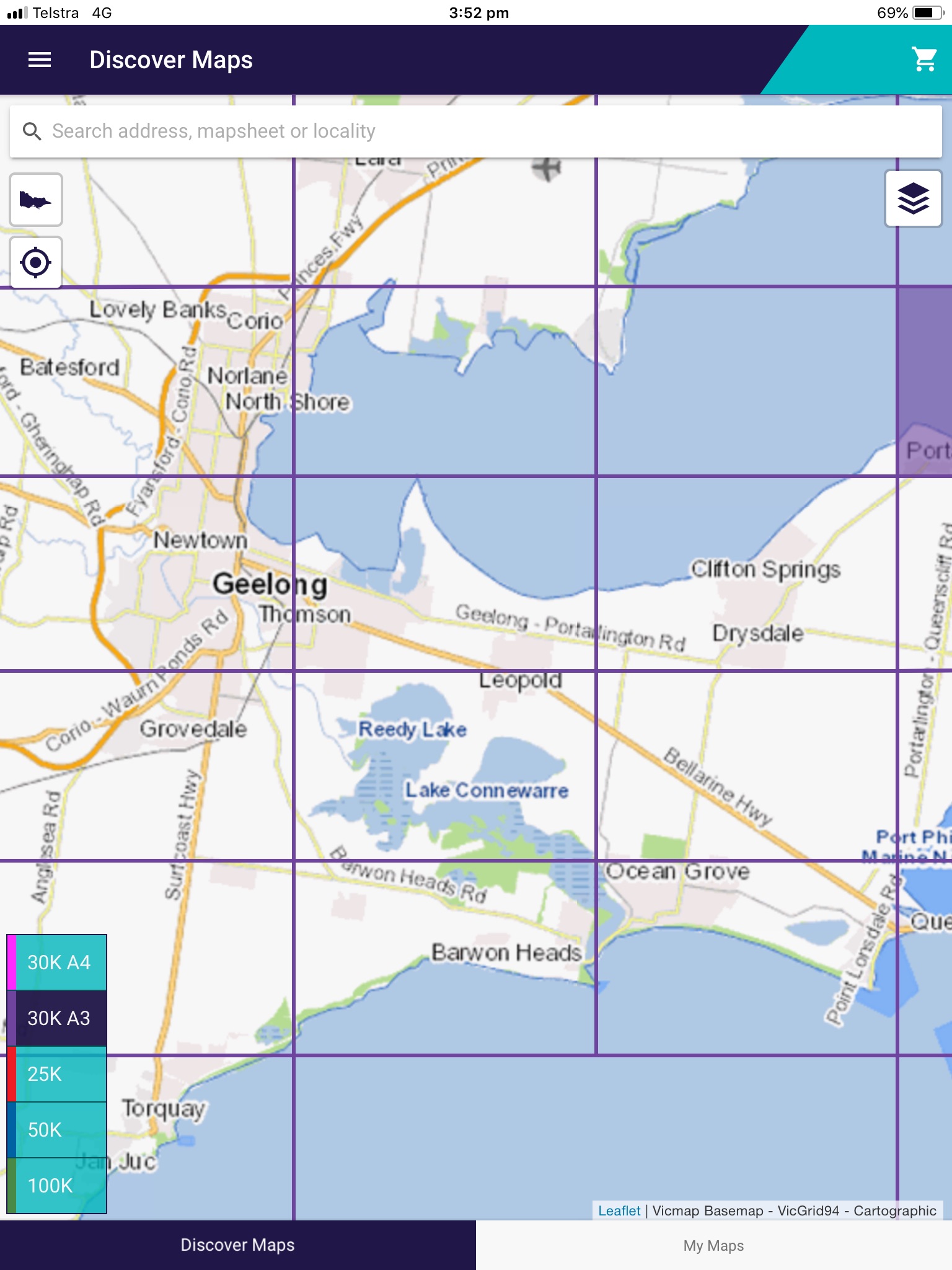
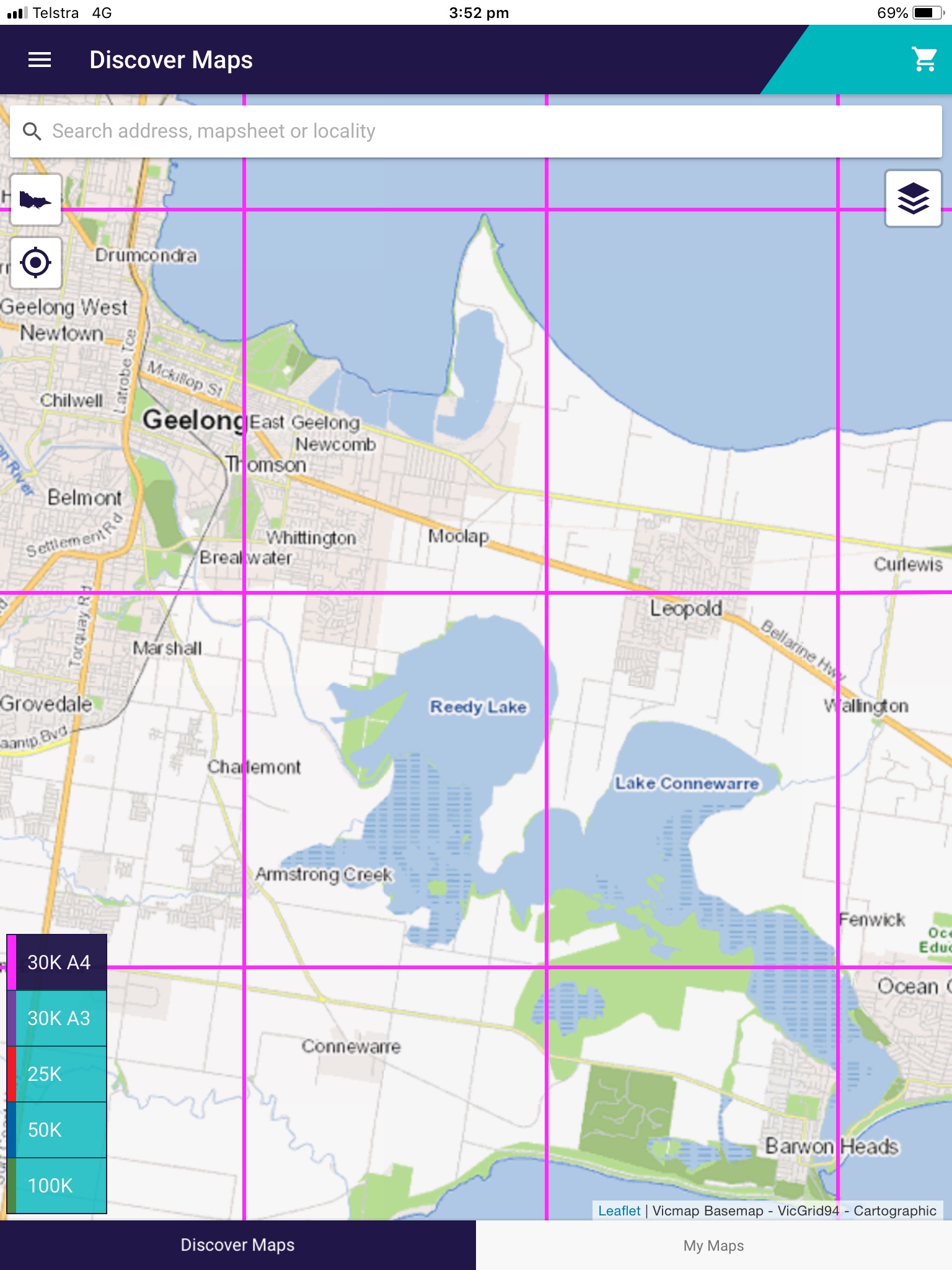
WHICH MAP DO I NEED?
Maps are available in four different scales:
• 1:25,000: perfect for bushwalking, cycling and fossicking
• 1:30,000: shows same information as the 1:25,000, but suited to A3 or A4 home printing
• 1:50,000: perfect for four-wheel driving, bush walking and camping
• 1:100,000: perfect for long distance cycling, car touring and day trips.
WHAT FEATURES ARE AVAILABLE ON VICMAP VIEWER MAPS?
Vicmap topographic maps depict natural and constructed features including rivers, walking tracks, park boundaries, contours, monuments and emergency services facilities. Detailed information is displayed using easy to read standard cartographic symbology
WHAT CAN I DO WITH VICMAP VIEWER?
Vicmap Viewer enables you to:
• easily access Vicmap topographic maps from your mobile device or tablet
• search and find a Vicmap topographic map by geolocation, mapsheet name, mapsheet number, locality or address
• access your downloaded map using PDF viewers for display, geolocation or printing
• discover your downloaded map using geolocation, mapsheet name and mapsheet number
• view your downloaded map in remote areas while offline.